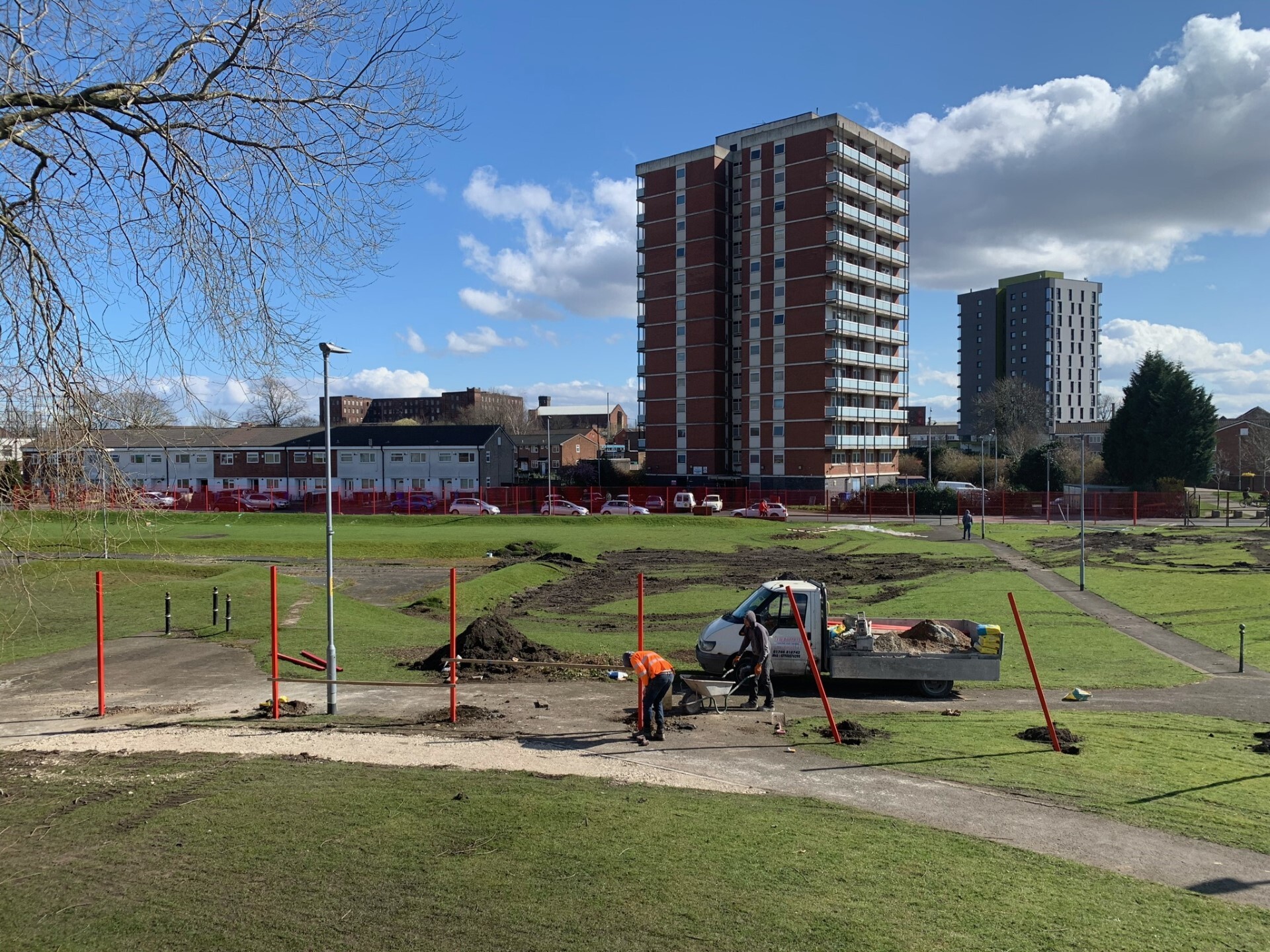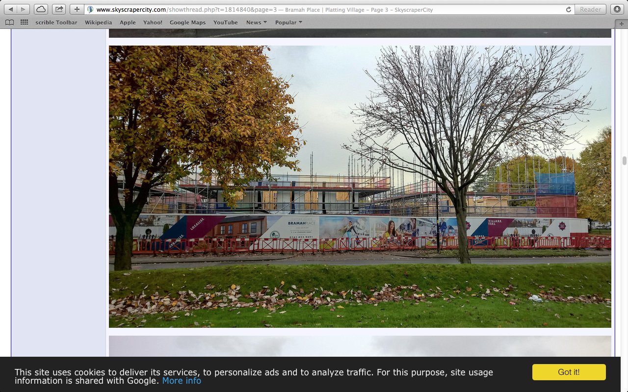
Since 2012 I have been periodically documenting a cycle of urban regeneration and gentrification in the newly conceived ‘New Islington area’. Located just 0.5 miles from the city boundary, the New Islington district, originally part of Ancoats, has recently taken on a separate identity that reflects its changed status.
Located on the north-eastern edge of Manchester, in the North West of England. This ongoing visual survey and associated outputs present a visual record of the physical and social streetscapes within a 1.5 mile radius and a maximum 0.8 mile distance from the Manchester city centre boundary.
Using repeat photography, fieldnotes and an online ethnography of the Skyscraper City web-forum, this contemporary visual analysis of urban space reveals a great deal, specifically when the process is repeated over time. Longitudinal studies carried out in particular sites or with specific communities (online or otherwise), help to better frame our understanding of an environment.
Related writing & outputs
Bratchford, G., 2020. Visualising Gentrification in Ancoats, Manchester: A Multi Method Approach to Mapping Change.’ In Jerome Krase and Judith N. DeSena (eds) Gentrification around the World: Gentrifiers and the Displaced, Routledge New York
Bratchford, G., 2019. ‘Visualising the Invisible: A Guided Walk Around the Pendleton Housing Estate, Salford, UK’. Visual Studies.
Bratchford, G., 2016. An On/offline Visual Ethnography of Ancoats, Manchester. PR1 Gallery, Preston, September 2016
Bratchford, G., 2016. ‘Seeing and Unseeing the Urban Environment: A Critical Response’ In Brian Morrison (eds.) North: North Volume Two.
